
Automating GEOINT: Machine Learning for Satellite Imagery Analysis
Applied AI: How AI Detects Changes in Landscapes, Infrastructure, and Human Activity

Both as a graduate student in my Remote Sensing course and as a Microsoft Student Learn Ambassador, I jumped into applying machine learning to satellite imagery. At first, I was intimidated by the process, but once I got started, it revealed itself. I experimented with Azure ML Studio using Python Notebooks and ArcGIS Pro, each offering distinct workflows and deliverables. These experiences deepened my understanding of GEOINT automation, and I’m eager to continue exploring AI’s role in satellite imagery analysis.
It is no secret that machine learning (ML) has transformed Geospatial Intelligence (GEOINT) by enabling analysts to process vast amounts of satellite imagery with unprecedented speed and accuracy. Through deep learning models, GEOINT professionals can detect changes in landscapes, monitor infrastructure developments, and analyze human activity patterns. However, integrating AI into satellite imagery analysis presents significant challenges, including data biases, model transparency, and the need for human verification.
This blog explores how ML enhances GEOINT workflows, the challenges of training AI models on geospatial datasets, and the importance of ensuring transparency in automated intelligence analysis.
The Role of Machine Learning in Satellite Imagery Analysis
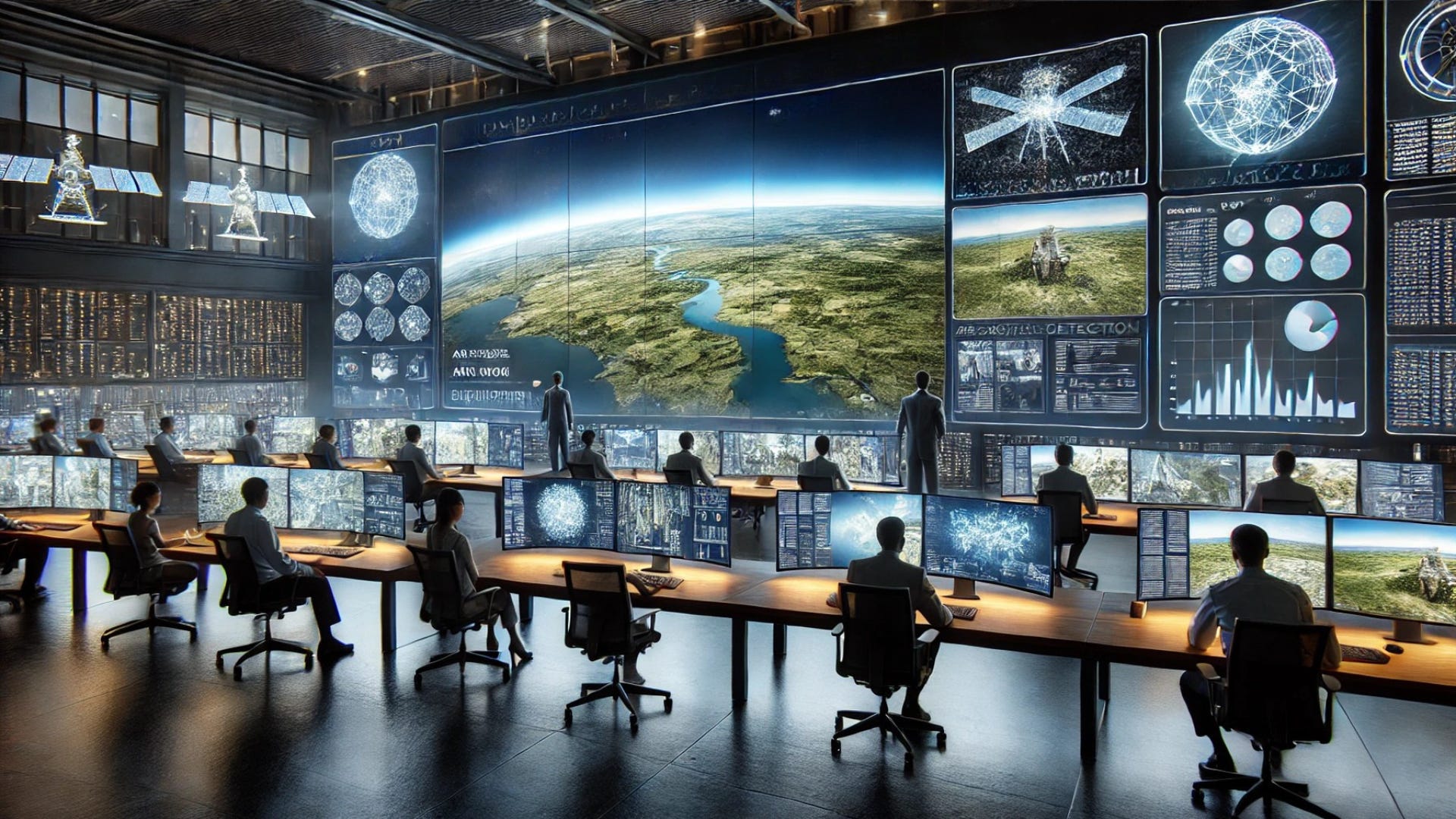
The intelligence community (IC) and defense agencies rely on satellite imagery for mission-critical decisions. ML accelerates GEOINT by automating labor-intensive tasks, such as:
Object Detection – Identifying buildings, vehicles, aircraft, ships, and other infrastructure.
Change Detection – Monitoring land use, deforestation, urban expansion, and disaster impact over time.
Anomaly Detection – Flagging unusual activity, such as unauthorized construction, troop movements, or environmental shifts.
Feature Classification – Differentiating between roads, rivers, agricultural zones, and urban landscapes.
By integrating ML into satellite imagery analysis, GEOINT analysts can process large datasets faster and allocate human expertise to complex intelligence tasks.
How Deep Learning Models Detect Changes in GEOINT
Deep learning models, particularly convolutional neural networks (CNNs), excel at analyzing satellite images by extracting patterns, textures, and spatial relationships. These models power:
Automated Infrastructure Mapping – AI-driven systems update maps in real-time, recognizing new roads, bridges, and buildings.
Disaster Response Assessments – Post-disaster satellite images are compared with pre-event imagery to assess damage and prioritize aid.
Military and Security Monitoring – AI flags construction of missile sites, airfields, or troop buildups, providing analysts with critical alerts.
Environmental and Climate Monitoring – AI tracks wildfires, deforestation, and coastline changes, offering valuable insights for ecological studies.
However, while AI enhances GEOINT efficiency, it must be carefully managed to ensure accuracy and reliability in intelligence assessments.
Challenges in Training AI Models for GEOINT Applications
Developing and deploying ML models for satellite imagery involves several key challenges:
Data Quality and Bias – Satellite imagery datasets may contain inconsistencies, resolution variations, or biases in geographic coverage. Training models on biased data can lead to inaccurate predictions.
Model Transparency – Deep learning models often function as "black boxes," meaning their decision-making processes are difficult to interpret. This lack of explainability is a major concern in intelligence applications.
False Positives and Negatives – AI-generated GEOINT must be verified by human analysts to prevent errors, especially in high-stakes scenarios.
Processing Power and Infrastructure – Running AI models on high-resolution satellite imagery requires cloud computing, specialized GPUs, and optimized data pipelines to handle massive datasets.
Data Provenance and Manipulation Awareness – Understanding where the data originates, how it has been processed, and whether any transformations or algorithmic enhancements have been applied is essential for maintaining trust in AI-driven GEOINT. Ensuring metadata integrity allows analysts to assess the reliability of datasets and the influence of preprocessing techniques.
Without proper oversight, ML-generated intelligence can lead to misinterpretations that affect national security decisions.
Ensuring Model Transparency and Human Oversight in AI-Powered GEOINT
To build trust in AI-powered GEOINT, intelligence agencies must prioritize explainability and accountability in ML models. Best practices include:
Using Explainable AI (XAI) Methods – Implementing heatmaps, feature attribution, and decision trees to show how AI arrives at conclusions.
Establishing Confidence Scores – Providing analysts with uncertainty metrics that indicate the reliability of AI-generated insights.
Human-in-the-Loop Verification – Ensuring trained intelligence analysts review AI findings before actionable intelligence is disseminated.
Tracking Data Lineage – Clearly documenting where satellite imagery data originates, how it has been processed, and what algorithms have been applied to prevent manipulation or misinformation.
Developing Ethical AI Policies – Creating standards to reduce bias, increase data integrity, and prevent AI misuse in GEOINT applications.
By adopting these strategies, agencies can balance automation efficiency with human expertise, ensuring that AI-driven GEOINT remains accurate, accountable, and secure.
The Future of AI in Satellite Imagery Analysis
As ML continues to evolve, GEOINT professionals can expect advancements in:
Self-Learning AI Models – Systems that improve over time by continuously updating based on new imagery.
Federated Learning – Training AI models across multiple secure locations without centralizing classified data.
AI-Powered Predictive GEOINT – Algorithms that anticipate future developments, such as infrastructure expansion or environmental degradation.
However, the role of human intelligence remains irreplaceable. AI should be viewed as a force multiplier rather than a replacement for trained analysts. By combining ML automation with expert oversight, GEOINT will continue to drive actionable intelligence for defense, national security, and global monitoring efforts.
AI as a Tool, Not a Replacement
Machine learning is revolutionizing satellite imagery analysis by making GEOINT workflows faster, smarter, and more scalable. However, AI models must be carefully designed, tested, and monitored to ensure they produce reliable, explainable, and bias-free intelligence.
For intelligence professionals, the takeaway is clear: AI is an invaluable tool for GEOINT, but human expertise remains essential in ensuring its accuracy, security, and ethical application.